We’ll begin and end our day in Gunnison. It’ll be a 249-mile loop that takes us over the steepest paved pass in Colorado.
The loop begins by riding west on US-50 out of Gunnison for 10 miles, then turning south at the Blue Mesa Reservoir on CO-149, a twisty route through the San Juan Mountains.

We’re riding on the Silver Thread Scenic Byway, a 117-mile gem that winds through the San Juan Mountains and ends in South Fork.
The San Juan Mountains are Colorado’s largest mountain range. Major towns in the San Juans, every one an old mining camp, include Creede and Lake City – which we’ll visit today – and Silverton, Ouray and Telluride, which we visited earlier in the week. The highest point in the San Juan Mountains is Uncompahgre Peak, at 14,309 feet.
The San Juan Mountains have the distinction of having the highest US airport with scheduled airline service – Telluride Airport, at an elevation of 9,070 feet.
***
Visiting old ghost towns in the San Juan Mountains is a popular tourist activity. Colorado has about 500 ghost towns, and 650 actual (statutory) towns. Mining booms and busts left the mountains littered with ghost towns that fascinate locals and tourists alike. Today, we’re two of them.
In search of ghost towns, we follow CO-149 for 86 miles, passing by Lake City, the county seat of Hinsdale County. Lake City is named after nearby Lake San Cristobal.
Lake San Cristobal is the second largest natural lake in Colorado. San Cristobal means “Saint Christopher,” in Spanish. Saint Christopher is a patron saint of travelers. Like Dave and me.
The area around Lake City and Lake San Cristobal is at the southern end of Colorado’s mineral belt. Lake City historically relied on mining, and its economy today is dependent on tourism. The Town of Lake City is designated a National Historic District, with more than 200 historic structures.
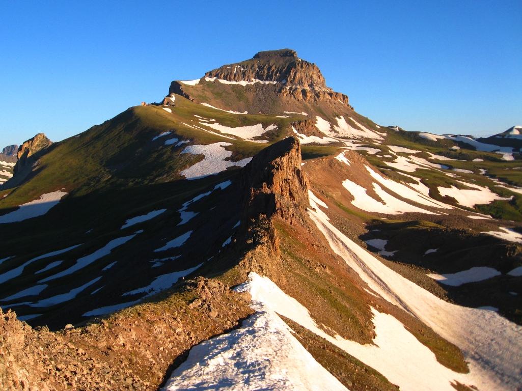
Leaving Lake City, we continue on CO-149, and after 10 miles, reach the summit of Slumgullion Pass. On our way up, we experience Slumgullion’s 9.4 percent grade, the steepest in Colorado. (A side note on steepness: three summers ago, Dave and I rode over Sonora Pass, through California’s Sierra Mountains. Sonora Pass has a section with a 26 percent grade.)

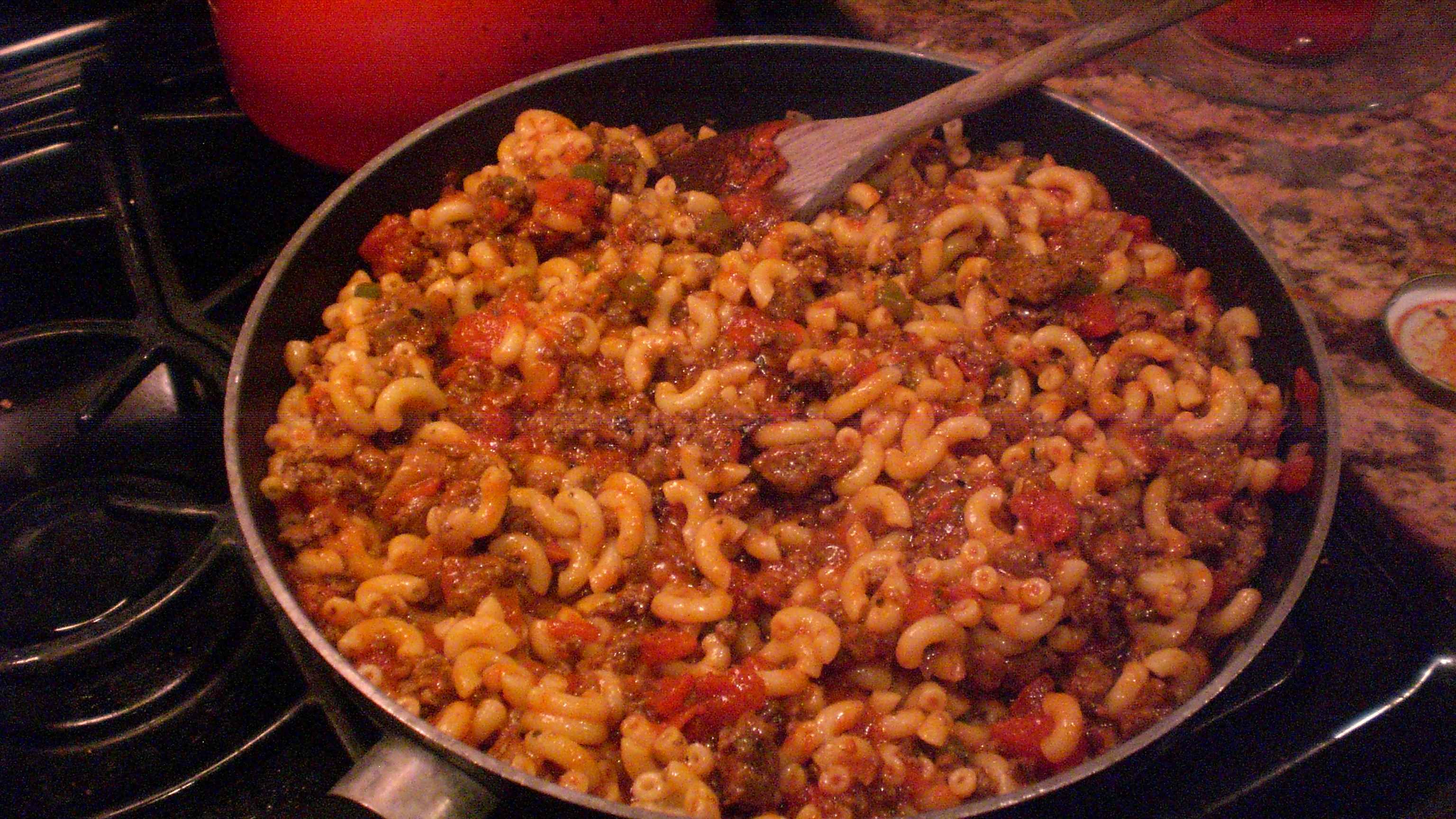
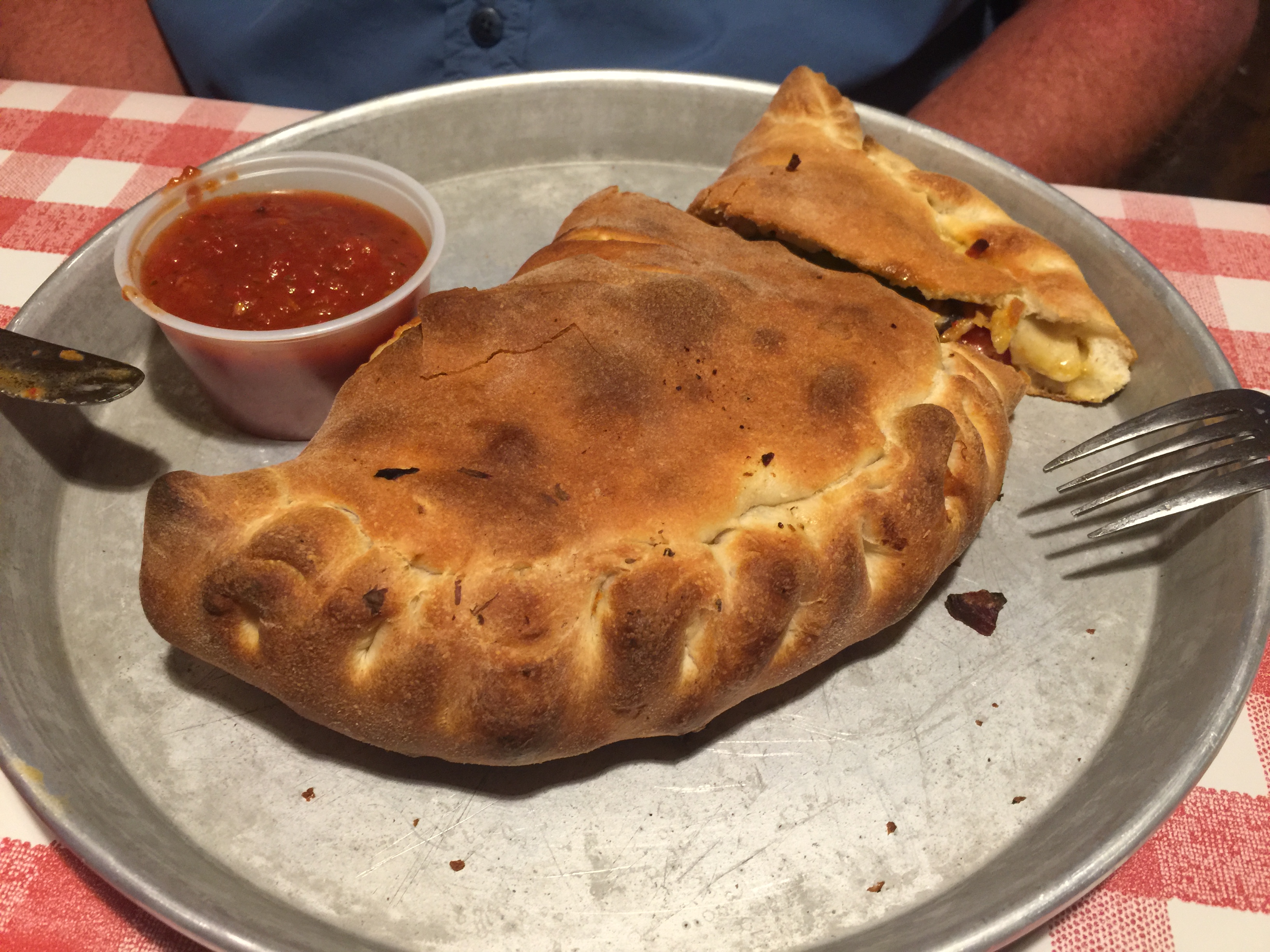
Slumgullion is more than a pass; it’s a stew, too.
***
Near the Rio Grande River, we turn north, staying on CO-149. The Rio Grande flows from southwestern Colorado to the Gulf of Mexico, along the way forming part of the Mexico-US border.
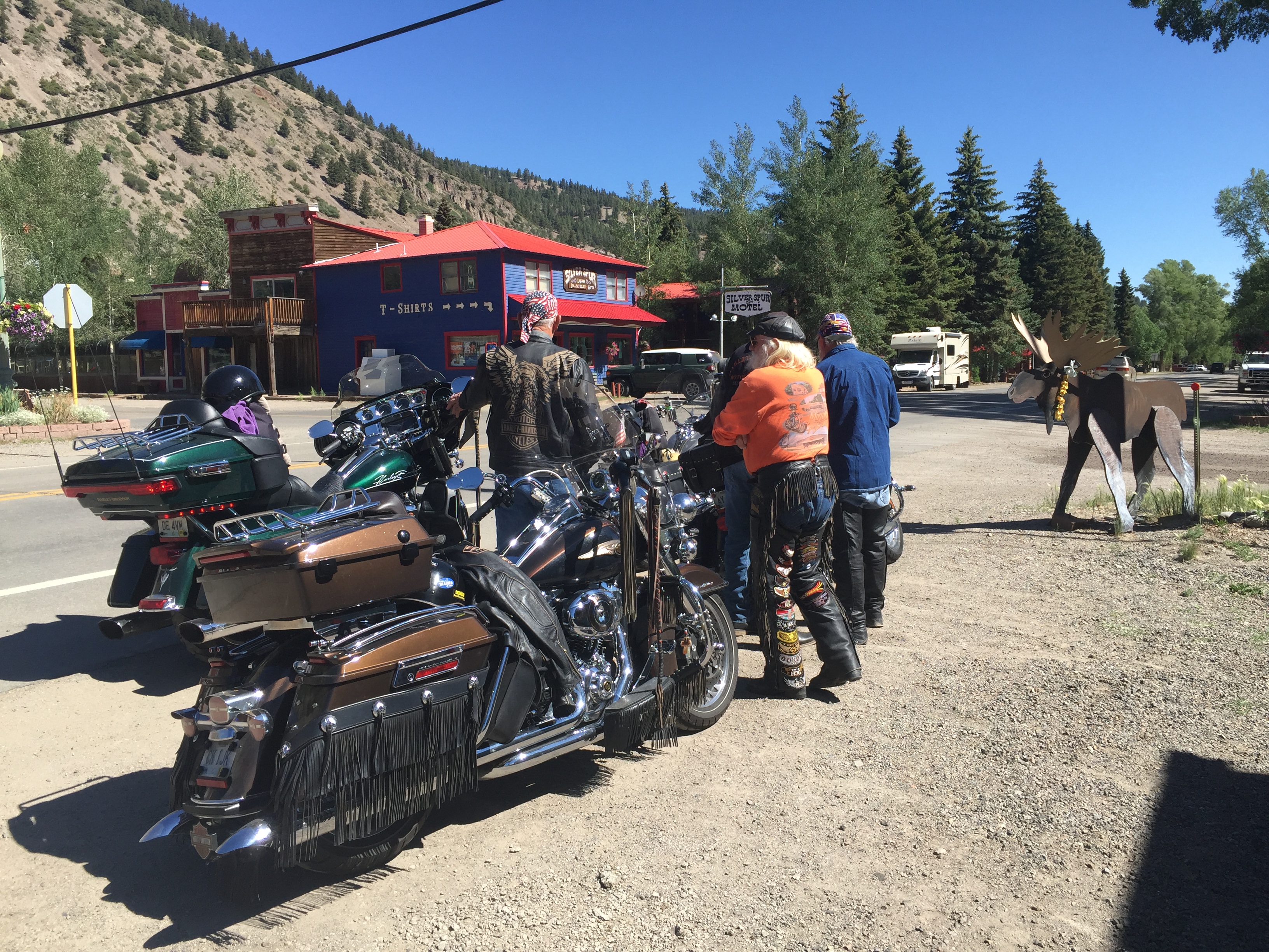
We follow the Rio Grande on CO-149, passing through Creede, a historic old mining town in appropriately named Mineral County.

Creede, elevation 8,800 feet, has been featured in a number of Hollywood films, including:
- The Shootist in 1976, with John Wayne and Ron Howard, about a dying gunfighter who spends his last days looking for a way to die with the least pain and the most dignity.
- The final scene in the 2007 drama, The Assassination of Jesse James by the Coward Robert Ford, takes place in a saloon in Creede, where outlaw Robert Ford (played by Casey Affleck) is gunned down by Edward O’Kelley. The scene was shot on a set in Edmonton, Alberta, that recreated much of 19th century Creede. Earlier in the film, Ford had killed Jesse James, played by Brad Pitt.
- Scenes from the 2013 western, Lone Ranger, starring Armie Hammer and Johnny Depp, were filmed in and around Creede.
Creede, we continue our ride along the Rio Grande. In the Town of South Fork, we turn east on US-160. Here in South Fork, the Griswold family spends the night at a campground as part of the 1983 Harold Ramis movie, National Lampoon’s Vacation.
After 15 miles on US-160, we roll into Del Norte, named after the river “Rio Grande del Norte” – Grand River of the North. Del Norte, elevation 7,884 feet, is a good place to stop for gas, and a snack at the Three Barrel Brewing Company. If only we needed gas and a beer.
In Del Norte, we hop on CO-112 for about 15 minutes, then turn north on US-285. Unusual for a Rocky Mountain ride, the road is a straight line for 25 miles. No turns, not even a bend in the road.
In Saguache (suh-WATCH), at the junction of CO-114, we veer west for 62 miles, and enjoy some mountain curves for a pleasant change. In the distance, we see Razor Creek Dome (11,530 feet) and Sawtooth Mountain (12,304 feet).
We cross Cochetopa Pass, 10,067 feet, on the way in to Gunnison. It sits on the Continental Divide. Cochetopa is a Ute Indian word for “pass of the buffalo.” Go Utes!

At US-50, we turn west and ride the remaining eight miles to Gunnison, which completes our loop for the day.
***
Another night in Gunnison. More ribs.
Well, on second thought, no ribs tonight. We’re declaring it “Rib Detox Night.”
We’ve done six rib meals in six days, and we’ll think of tonight’s sacrifice as a rib sabbath.
We’ll resume our rib-fest tomorrow on our way home to Carbondale.

***
Day Seven Summary: Colorado’s mineral belt, a town called Lake City, movie time in Creede, Rib Detox Night.
Click here to see today’s complete route from Gunnison to Gunnison – the Gunny Sack Loop.
Glad you’re along for the ride.
Vroom, vroom.
***

Today’s Colorado Fun Fact: Wondering how Pikes Peak got its name? Brigadier General Zebulon Pike was a captain in the US Army when he was sent by President Thomas Jefferson to explore the southern regions of the newly acquired Louisiana territory. The Pike Expedition in 1806 and 1807 discovered and documented what later became known as Pikes Peak. The mountain rises to 14,110 feet – and more than 400,000 people make it to the summit each year, by car, train or foot.
Today’s Rocky Mountain Rib Rally Fun Fact: The Town of Del Norte, which we passed through today, is home to Patriot Bible University, an independent Baptist correspondence school. The unaccredited school issues religious degrees only, and has been criticized as a “degree mill,” with low graduation requirements and high graduation rates. You can prepay for a degree ($1,899) and walk away with a Doctor of Ministry in a matter of months.
Today’s Colorado Food Fun Fact: Great name for a restaurant: the Gunnisack, in Gunnison – where we’re staying tonight. Sadly, the Gunnisack is a rib-free, so we’ll keep looking for a suitable rib stop.

Beautiful scenery and it looks like fabulous weather. I hope Sarah is doing something fun too while you ride the Rockies!
LikeLike
Weather is awesome. Riding is spectacular. Food is fabulous, and healthy. Sarah is busily occupying herself, as you might expect. We’ll see her tonight. And tomorrow. Hope not to get in her way.
LikeLike
Might want to try “Smoke” in Eljabel,
LikeLike
HI Bill. We ate at Smoke on June 20. Check out that day’s blog., for pics and description. Hope to see you and Mary around Carbondale.
LikeLike
That dish you call Slumgullion looks a lot like what Dave and I grew up eating and our Mom called Goulash. She usually added some green beans as well.
LikeLike