Yesterday, we crossed the Sierras once. Today, we’ll double our fun.
The good times begin as we leave California and roll into Stateline, Nevada. It’s not much of a roll, actually. South Lake Tahoe, where we were a minute ago, and Stateline, where we are now – are effectively one town with a dual personality.

The population of Stateline in the 2010 census was 842. To tell you all you need to know about Stateline, there are nearly 1,600 slot machines at Harrah’s and Harvey’s combined – that’s almost two for every Stateline resident.
Stateline is a single-industry town: gambling. It has five casinos. Most of TripAdvisor’s “Top Things to do in Stateline” revolve around gambling. Number 9: “Boogie Nights at MontBleu, formerly Caesar’s Palace.
We quickly boogie out of Stateline – it’s only 512 acres – and turn east onto Highway 207, which takes us over the Kingsbury Grade. About two miles up the twisty two-lane road, we pass within a few hundred yards of the Heavenly Valley ski resort’s Boulder Carpet chairlift. It’s one of Heavenly’s 30 lifts.
Heavenly Valley straddles California and Nevada, and boasts the highest elevation of all the Lake Tahoe area resorts, with a peak of 10,067 feet. Shopping for a place to carve some turns later this year? Season passes are now available for Heavenly’s 2015-16 season. You can get an adult “Epic Pass” for $769, giving you unlimited access to Heavenly Valley, and the other ski areas operated by Vail Resorts, among them: Vail, Park City, Beaver Creek and Breckenridge.
My fondest memory of Heavenly Valley was in April 1968 when as a ski-racer wannabe, I saw Jean-Claude Killy compete in the World Cup season-ending slalom, where he finished seventh, 1.75 seconds behind American Spider Sabich. Earlier that year, Killy swept all three alpine events at the Grenoble, France, Olympics – and was dominant throughout the season in the slalom, giant slalom and downhill.
Here he is, skiing to gold three times at the 1968 Olympic Games. Has technique changed any since then?

January 5, 1998, was a dark day in Heavenly Valley history. That’s when when musician and politician Sonny Bono crashed into a tree on “Orion,” an intermediate slope high on Heavenly’s Nevada side. He died instantly. At the time, Bono was a US congressman, representing the Coachella Valley. Before that, he was Palm Springs’ mayor. And long before that, Sonny and Cher sang “I Got You Babe.”
***
On that note, we continue up Kingsbury Grade toward its 7,344-foot summit. It provides a spectacular view of the valley to the east and south.
We descend to the bottom of Kingsbury Grade, into the community of Mottsville. It’s apparently named for Mott the Hoople, a ’70s English rock band best known for the song, “All the Young Dudes.” Who knew?
In Mottsville, we turn south on Nevada Highway 206 for a few miles, then south on Highway 88, crossing the state line back into California, where we’ll remain for the rest of our trip.
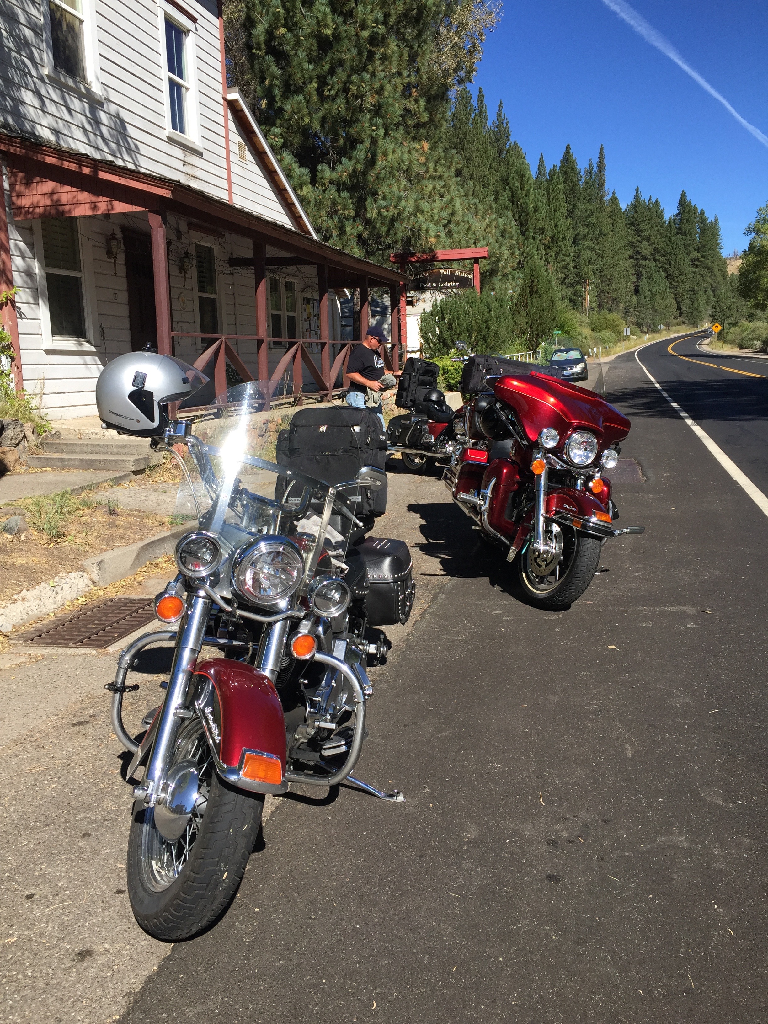
Less than an hour from our start in South Lake Tahoe, we arrive in Markleeville, elevation 5,531 feet. Markleeville is on the map for annually hosting a bicycle race called the Death Ride. The Death Ride attracts more than 3,000 riders, who pedal over five Sierra passes for a total distance of 129 miles and more than 15,000 feet of elevation gain. The winner generally finishes in around eight hours of riding time. Survival is considered a pretty ambitious goal.
This year’s Death Ride, called the “Tour of the California Alps,” was held July 11.
Bicyclists in the Death Ride climb and descend Monitor Pass (8,314 feet) from both directions, Ebbetts Pass (8,730 feet) from both directions and Carson Pass (8,652 feet). Their entry fee is $140.
In a much less painful fashion than what the bicyclists experience, we’ll cross Ebbetts Pass today. For free.
From Markleeville, we continue five miles south and then turn onto California Highway 4, which we’ll ride for the next few hours, taking us across Ebbetts Pass and back to Gold Rush Country.

Highway 4 is also known as the Alpine State Highway. John Ebbetts, a California pioneer, first traversed the pass in April 1851 with a large mule train. He hoped it would make a suitable route for the transcontinental railroad, as he observed little snow at the time. He might have thought differently if he’d been there in the winter, when snow is generally abundant.
Ebbetts Pass is a 61-mile National Scenic Byway that generally closes for the winter in Mid-November, and stays closed until May or June. Today, there’s no snow, and no railroad over Ebbetts Pass.
And there’s been little calorie burn for the three guys on Harleys since leaving Lake Tahoe this morning. In the Lake Alpine area, there are some excellent hikes to get some alpine exercise and take advantage of the views.

We stop at Lake Alpine and ponder tackling Inspiration Point trail, a nearly three-mile hike with a 600-foot elevation gain. From Inspiration Point, there’s a nice view of Lake Alpine. In a few months, the fall colors here will be spectacular, as the aspen trees turn to gold.
Instead, we hike the Lakeshore Trail to Lake Alpine, where Dave fishes for 30 minutes and catches a huge rainbow trout, then tosses it back because it’s not quite big enough for dinner for three. Post-fishing, we climb on our bikes, and descend more than 7,300 feet in an hour, arriving in Angels Camp around 2 pm. We’re back in Gold Rush country again.
Angels Camp is sometimes referred to as “Frogtown,” because it’s where Mark Twain’s short story about the jumping frog took place. The frog-jumping event is commemorated with a Jumping Frog Jubilee each May at the Calaveras County Fairgrounds, just east of the city.
***
If bicyclists can do five Sierra passes in a day, we should be good for at least two. Our next one is Sonora Pass.
To get there, we turn south in Angels Camp and follow Highway 49, the Gold Rush Trail, to Sonora. Sonora is the county seat of Tuolumne County, and the only incorporated community in the county.
Sonora, population 4,900, sits in the Sierra foothills at 1,785 feet. It is is home to museums, art galleries, live theater and the annual Sonora Possum Stew Cookoff. Why not?

In Sonora, we turn east onto Highway 108, which will take us over the 9,313-foot pass. It’s the second-highest highway pass in the Sierra Nevada range, 321 feet lower than Tioga Pass to the south, which we’ll do tomorrow – giving us all four Sierra passes in three days.
Like Ebbetts Pass, Sonora Pass is closed throughout the winter and generally re-opens in May or June. This year’s opening was May 22. The highway over the pass is extremely steep, exceeding eight percent most of the way, with up to 26 percent grades in some locations.
The first documented immigrant traverse of Sonora Pass appears to have been in the late summer of 1852 by a wagon train known as the Clark-Skidmore Company. Nearly a century later, in 1943, the location scenes for the mountainous hideout of the Republican Spanish guerilla band in For Whom the Bell Tolls, were filmed here.
Thirteen miles east of Sonora, we climb to 3,648 feet and roll through the town of Twain-Harte. Its motto: “More Trees Than People.” Twain-Harte’s population is 2,200. Number of trees: more than that.

The unique hyphenated town name is derived from the last names of two famous authors who lived in California in the 1800s, Mark Twain and Bret Hart.
Twain (1835-1910), born Samuel Langhorne Clemens, is the more famous of the two. The Adventures of Tom Sawyer and its sequel, Adventures of Huckleberry Finn, have been staples in American classrooms for years.
Harte (1836-1902) is best remembered for his short fiction featuring miners, gamblers and other romantic figures of the California Gold Rush. Among his works: The Tales of the Argonauts, The Stolen Cigar Case, and Plain Language from Truthful James.
From Twain-Harte, we steadily climb for 54 miles, gaining more than 5,600 feet of elevation until we reach the summit of Sonora Pass. It’s all downhill from here. Until tomorrow, when we’ll be 321 feet higher.

***
We continue on Highway 108, and begin our descent toward tonight’s destination: Bridgeport. Ten miles east of the summit is Pickel Meadow, at 6,762 feet. It’s home to the US Marine Corps Mountain Warfare Training Center.
The MWTC is considered to be the Marine Corps’ premier training site for preparing Marines to serve in mountainous regions, with an emphasis on cold and high altitude confrontations. This training post was first established in 1951 to provide cold weather training for replacement personnel bound for Korea.
During the 1980s, the facility’s focus was on training and preparing Marines and operational units for deployments on NATO’s northern flank, particularly Norway. In recent years, the training center provided pre-deployment training for the war in Afghanistan.
The Mountain Warfare Training Center is just four miles west of the eastern end of Highway 108, which terminates at US Highway 395. We turn east onto US-395, and in 20 miles, we arrive at Bridgeport.

At 6,463 feet, Bridgeport is well below the heights we experienced earlier in the day. But it still feels like a mountain village. Bridgeport’s population is 575, though it swells in the summer because of tourism. It is a trout fishing haven.
Bridgeport Reservoir, Twin Lakes, Virginia Lakes, Green Creek, the East Walker River, the West Walker and numerous small tributaries and backcountry lakes offer some of the premier Rainbow, Brown and Cutthroat trout fishing to be found anywhere in the world. The Bridgeport Fish Enhancement Program sponsors fishing tournaments twice per season. Bridgeport’s Trout Tournament is held annually in late June.
Bridgeport is also notable for its proximity to the well-preserved ghost town of Bodie, about 24 miles east. A gold-mining ghost town that once had a population of nearly 10,000, Bodie is now a State Historic Park. Today, it looks pretty much the same as it did more than 50 years ago when the last residents left. It’s been preserved in what’s called a state of “arrested decay.”

After 225 miles, six hours in the saddle, and bagging two major Sierra passes, our hunger is anything but arrested. We’re pooped, and ready to relax.
We settle in to our rooms at the funky Redwood Motel, a relic of the 1950s, look forward to a hot shower and juicy burger, and dream about tomorrow’s visit to one of the most spectacular places on earth.
***
To view today’s route from South Lake Tahoe to Bridgeport, click here.
